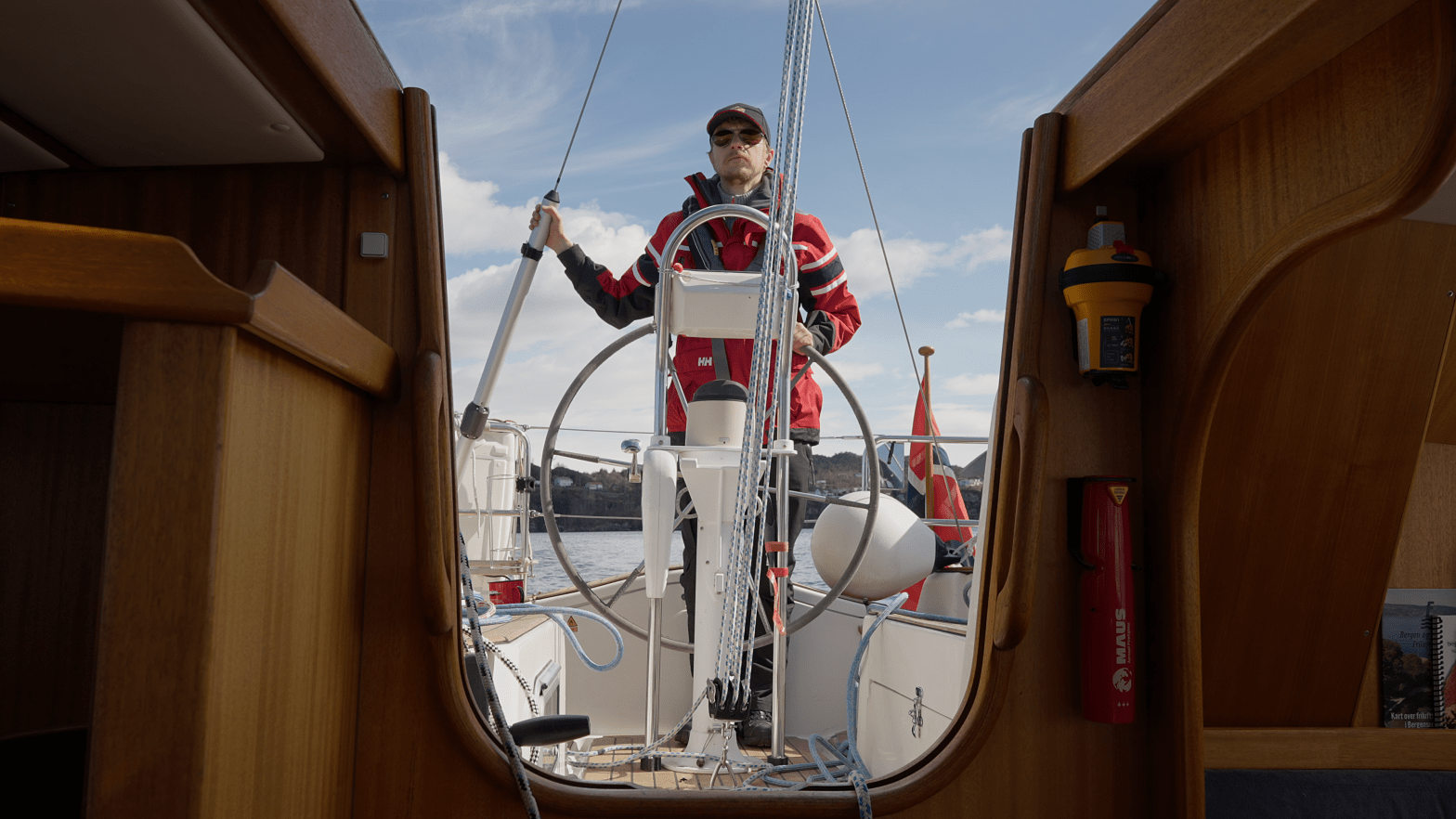
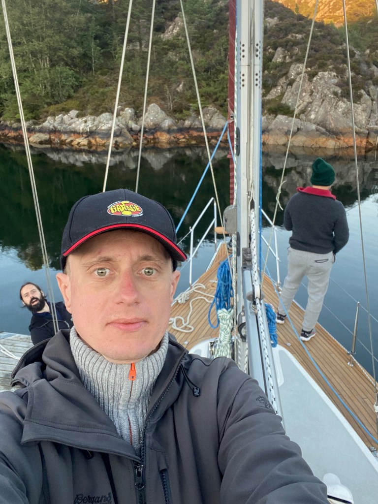
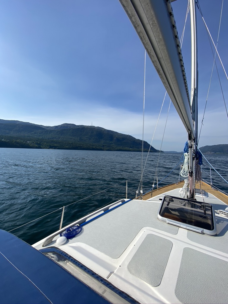
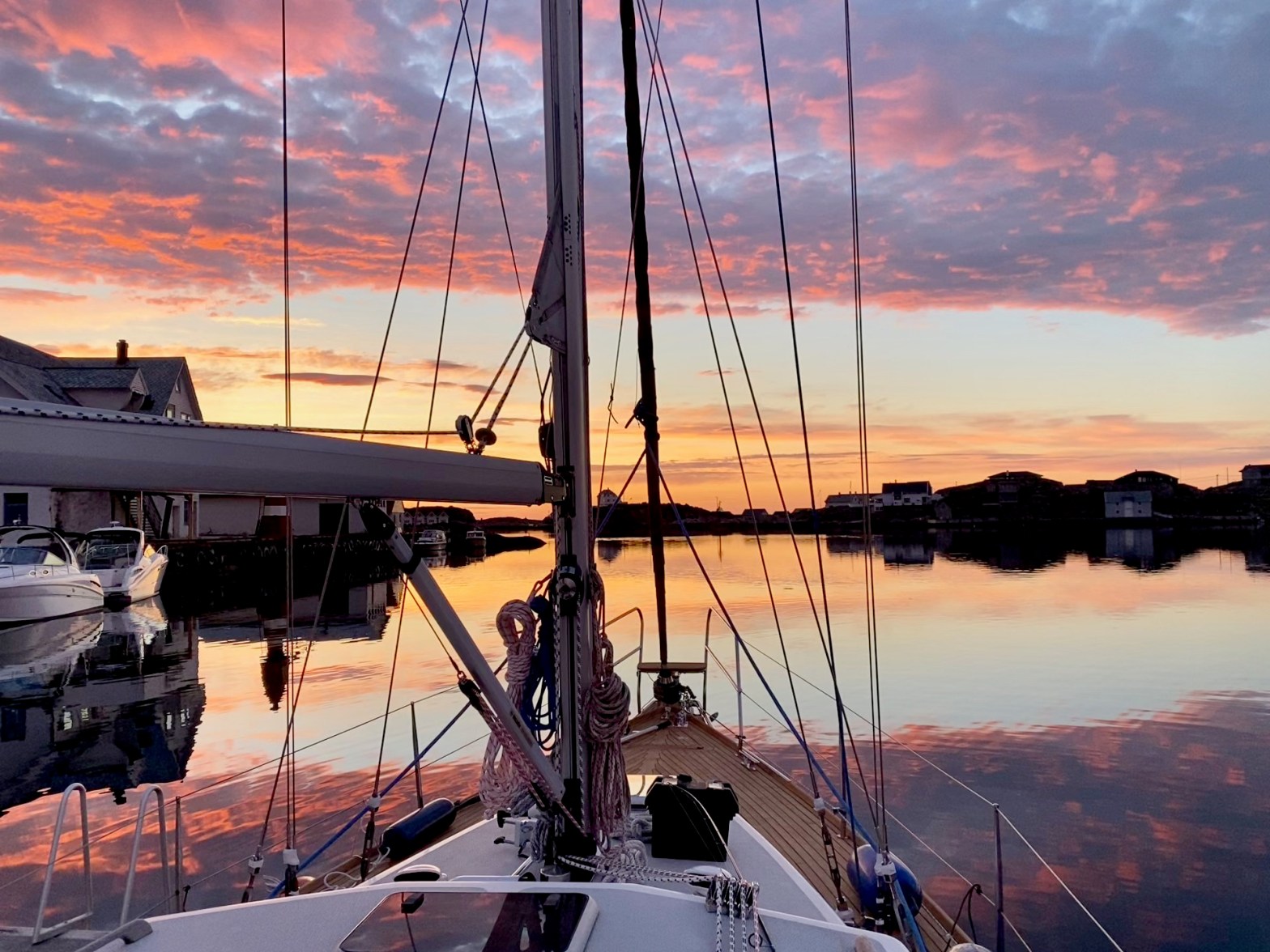
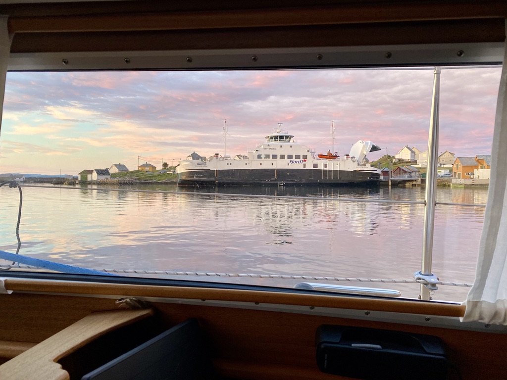
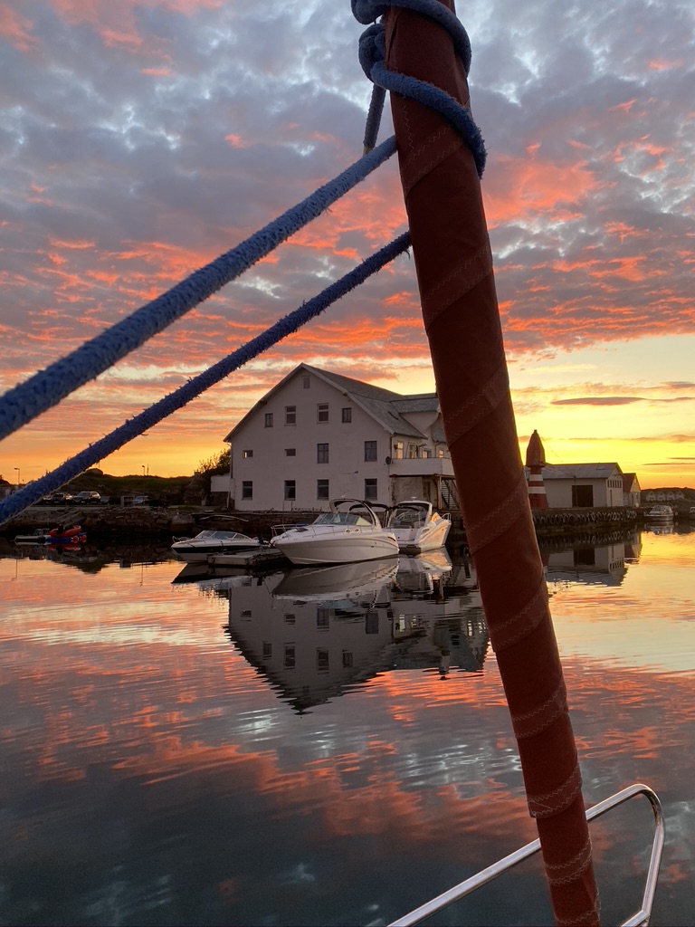
Tomorrow we start out towards northern Norway! Finally, after all that repairing, upgrading and planing, tomorrow around lunch time we start our journey!
And of course I made an accompanying video outlining my plan and giving a tour of the boat. So enjoy! Until next time a few nautical miles closer to the arctic circle!
At the start of this year I managed to install a bow thruster in our boat, namely the Sleipner SE50. I made a review of that product, which you can find in the video below.
The whole process took about 2-3 weeks. Instead of a full blown tutorial I concentrated on the product review. There are enough well done tutorials on how to install a bow thruster out there already.
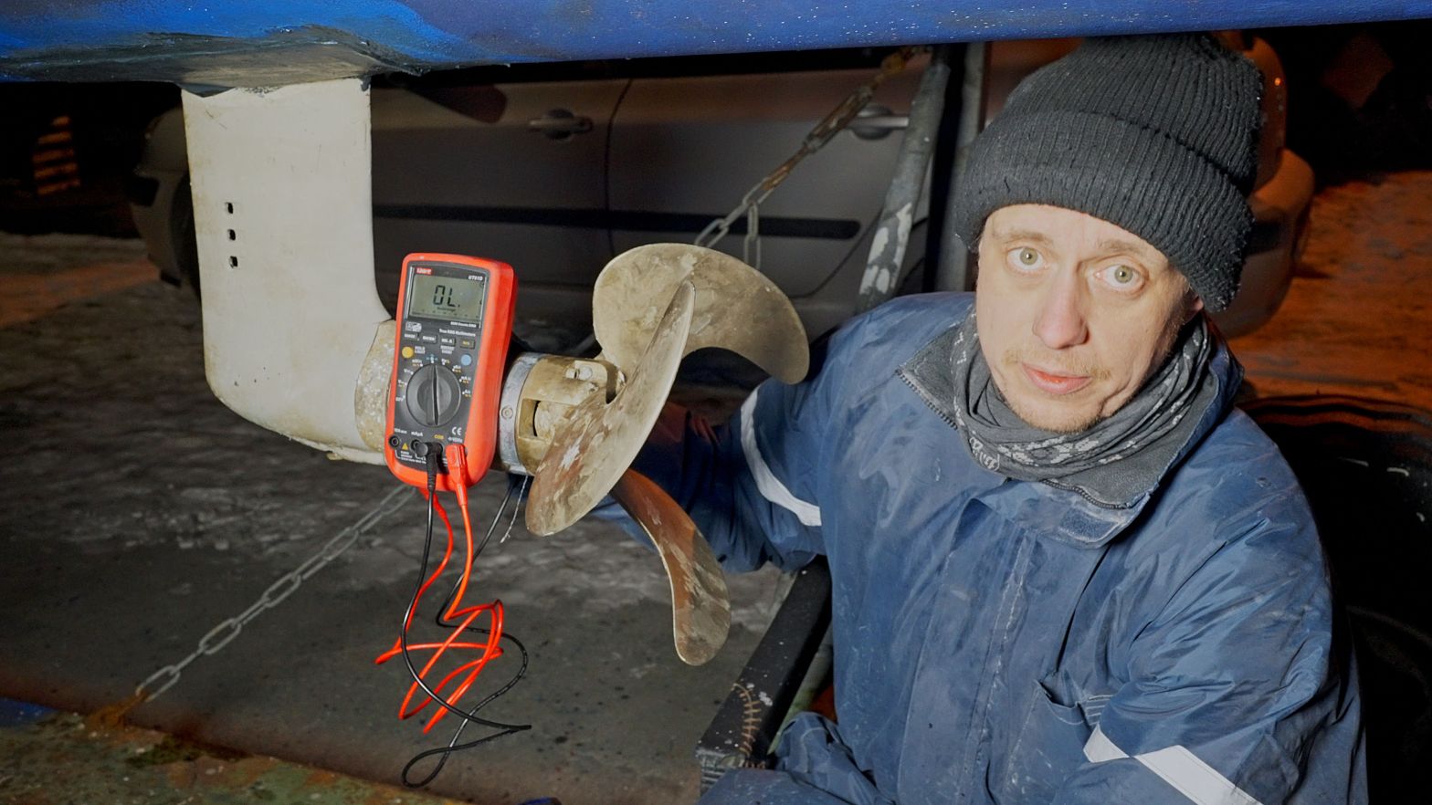
I installed a new depth transducer in Syvsover and wanted to test if it works before the boat goes back into the water. Neither the transducer manual nor the instrument describes any testing procedure on land so I tried another method which I describe in the video.
When I took our boat on land for some maintenance I found that the anodes on the saildrive were used up very unevenly. The anode on the saildrive looked almost new but the one on the propeller was completely gone. I suspected a fault of some kind here and started “troubleshooting”. But after reading up on both parts I found out, that it is actually a feature of the Volvo saildrive and the volvo folding propeller to be isolated against each other to prevent galvanic corrision.
After the old heater broke for good I decided to install a newer version of the Eberspächer M10 in Syvsover. While doing that I also rerouted some of the heating flow to get hot water without using the engine.
I outlined the whole process in the following video.
As promised in the video, here the two PDFs containing the diagrams shown in the video.
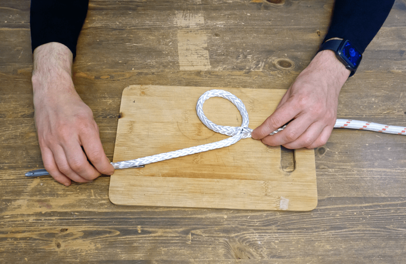
In the past I sometimes had difficulties splicing double braided ropes. Especially the ones which were rather cheap when I bought them. Milking back the cover into the core after creating the eye was impossible even when using excessive force on a winch.
I tried a lot of different techniques and finally found two methods which gave reliable results even for the most reluctant ropes. The first method is a coverless eye splice with a brummel lock, and the second method is to make a reeving eye (only a utility and not load bearing).
And while a picture says more than a thousand words, I decided to make a video again. I hope it will help anybody who has the same problem.
If you liked the video take a look at the channel, I will make videos as I go along and find interesting topics to cover: Syvsover on Youtube.
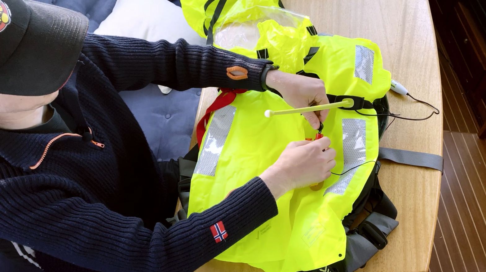
I made a video on how to integrate an Ocean Signal rescueMe PLB1 into a Spinlock Deckvest 6D. I got both items in preparation for more solo sailing this winter and the coming year and they seem to work fine together.
For this topic I decided to try a new format, i.e., video. Hope you enjoy it.
The plan is to gradually add more videos on different topics to the channel. If you are interested check it out here: Syvsover Youtube Channel.
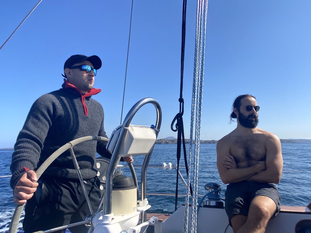
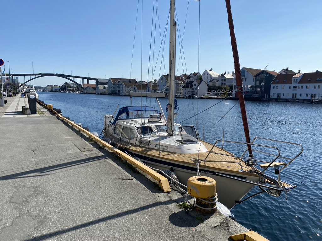
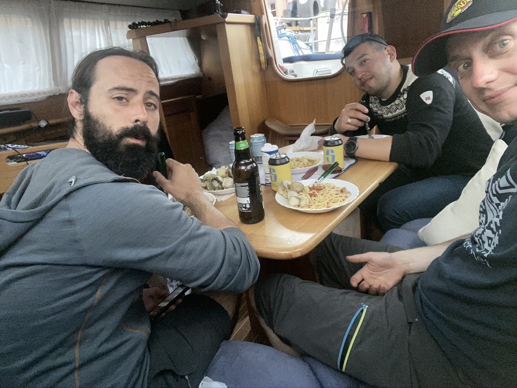
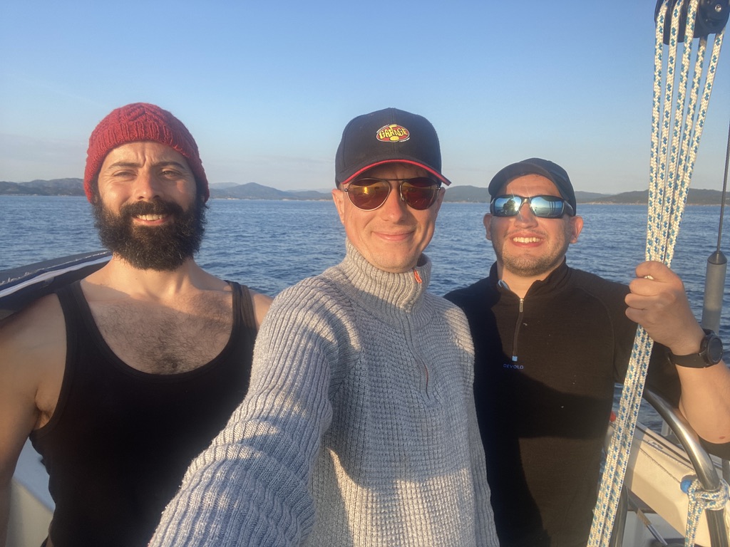
Two friends of mine, Diego and Pelayo, and I planned to sail to either Germany or Denmark (depending on the corona situation) some time ago. Before venturing on such a trip, and especially crossing of the North Sea, we decided to trial Syvsover together on something a bit shorter, i.e., sailing to either Haugesund or Stavanger. Unfortunately the weather in south-western Norway has been disappointing this “summer” so far. The winds were either way to strong or it rained constantly, making any trip outside just uncomfortable.
Now in mid August the weather seemed to calm down a bit, we picked Haugesund as our destination and went right at it.
Day 1 Florvåg – Goddo
I picked up Diego and Pelayo at the ferry and we left Florvåg for our first stop Goddo at around 10:00. It being sunday with a lot of traffic on the waterways in and out of Bergen we decided to motor our way until past Bjorøyna.
The weather was above all our expectations. After weeks of gloomy, rainy and cloudy skies somehow nobody expected anymore a real sunny day with bearable temperatures.
Once the motor silenced and the sails up we made good progress, around 5 knots average. The northerly wind at around 12kts only dropped around Huftarøy and changing direction due to terrain.
Crossing Selbjørnsfjorden
Heading in south-easterly direction into Selbjørnsfjorden we got a bit more wind, around 17kts gusting 21kts. So we crossed Selbjørnsfjorden faster than expected. I think the maximum speed over ground I saw on the plotter was 7.8kts.
Entering the entrance between Eggøya and Siglo the boat rolled a bit around since the stabilising effect of the sails was absent now but it quickly calmed down as we got more and more sheltered to the waves.
The last part of our way consisted of slowly navigating through the tight channels towards our planned mooring spot. Pelayo was at the wheel and I was concentrating on the chart plotter and the crosschecked position and depth on the paper map. Diego enthusiastically caught us two mackerel as dinner supplement. The last, and most narrow part started at the cairn at Steinkrossen and we reached Goddo around 1.5 hours later.
The passage from Steinkrossen to the mooring in Goddo
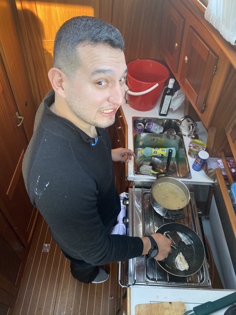
The boat safely tied up to the floating bridge we explored the surroundings a bit and Diego made us a very nice dinner with the two mackerel he caught earlier.
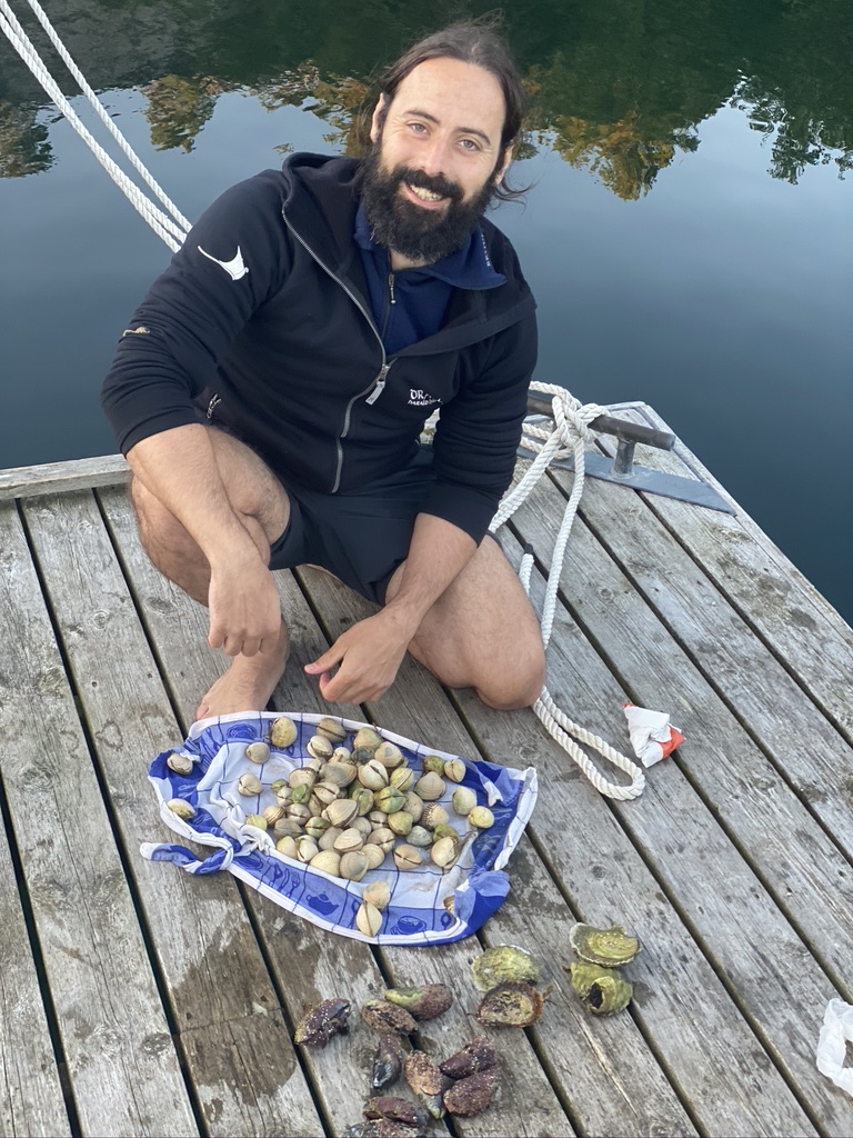
With a full belly Diego tried to catch some more fish while Pelayo and I collected cockles on a little sandy strip next to the floating bridge. We even found two kind of oysters.
The cockles were kept in the fridge for the next evening. Of the oysters we found, the native one got to live out its life where we found it. The other oyster species we found, of the invasive, mediterranean kind, got sampled by Pelayo who concluded quite colourfully that they were no good.
During the evening, the concentration of gnats increased significantly around the boat. This put an end to any more fishing/exploration, and we tucked in for the night.
Day 2 Goddo – Haugesund
The next morning we awoke to a completely calm water surface, and according to the forecast another sunny day in stock for us.
Floating Bridge in the Morning
After some coffee we left for Haugesund. The main objective of the day was to get the boat out on the north sea and find our way around all the small islands to our destination. Unfortunately the winds were very calm, maybe 5 knots at the most, so we had to motorsail on our way south.
With Diego at the helm, main and jib hoisted, and a simple preventer rigged, the boat was stable and it made for a comfortable ride with little rolling motion.
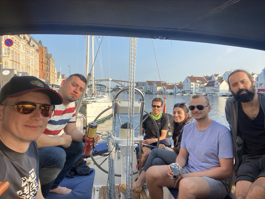
We arrived in Haugesund in the early afternoon. When we were done with some shopping and lunch, a pilot colleague, his girlfriend, and a colleague of hers dropped by for some beers on board. Later that evening Pelayo prepared the cockles with spaghetti for a nice dinner, and after some reminiscing about all kinds of stuff and just enjoying the moment, we went to sleep.
Day 3 – The Way Back
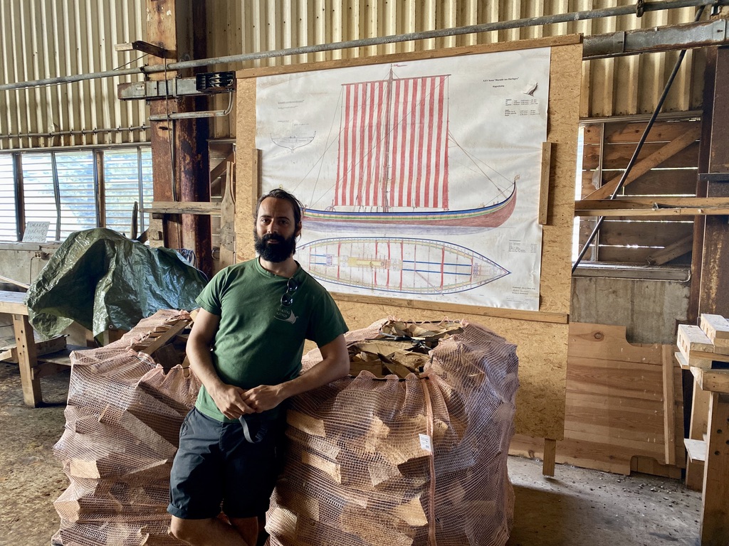
Before we left Haugesund Pelayo had a special mission, i.e., visiting the place he left in 2016 with the viking ship Draken to sail to the USA after working there during the building process. The place was located right around the corner and we could moor directly in front of it.
By now Diego and I had heard quite some stories about Draken and for us it was interesting to see were it was built, while for Pelayo it seemed to be a bit of a strange experience to find a place were Draken’s crew worked and lived in a state almost as they left it around 4 years ago.
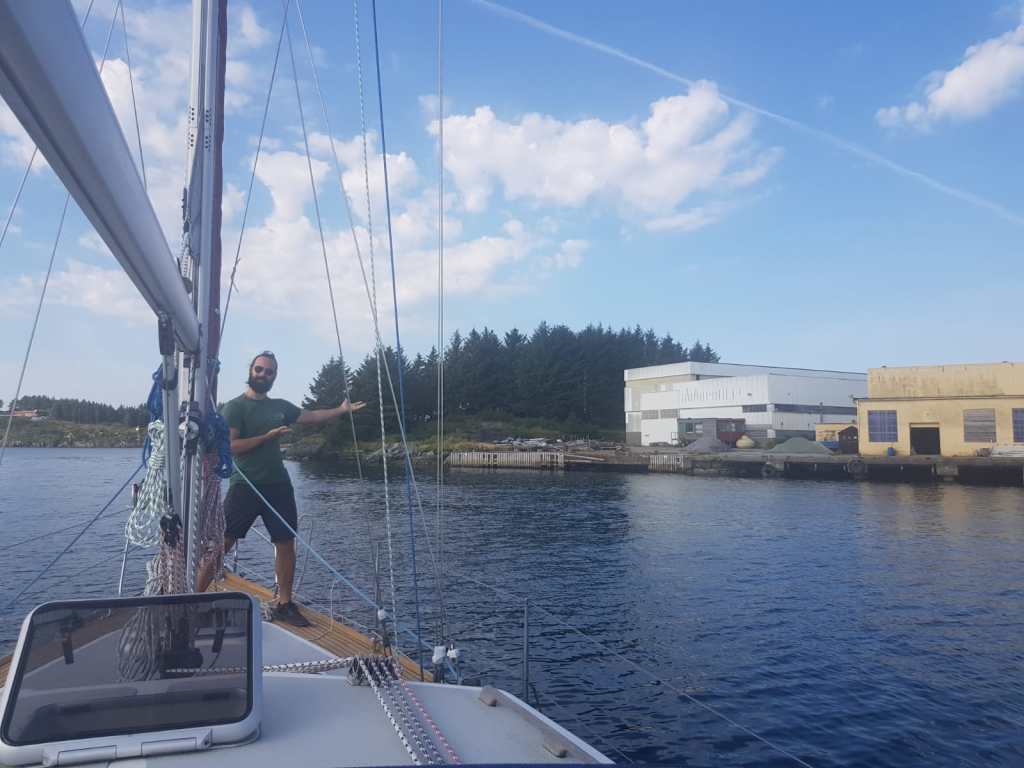
After having a conversation with one of the ship builders we met in the office we were on our way north towards Bergen again.
Since the weather forecast gave us only light winds, and on top of that right on our nose for the next few days, we decided early on to just keep motoring back through the fjords in one day-long leg. Thus the last day went by rather uneventfully apart from two sightings of whales, probably harbour porpoises due to their size. More or less twelve hours after leaving Haugesund, we were back where we started and content with a successful trip without breaking anything major.
Finally there was an opportunity for us to go on an overnight trip. The weather was forecast to be excellent (not enough wind for sailing though), and I planned for going in a northerly direction.
Studying different sources for suitable anchoring spots I looked forward to explore a place called Uttoskavågen, a natural port protected from all wind directions. That would be our first destination. From there on we would decide what to do and where to continue.
Day 1 – Uttoskavågen
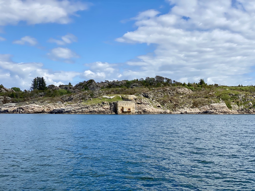
We departed Florvåg on the 10.06.20 a bit later than originally planned. Mostly because Laila has a habit to sleep long and so I got up early, did the grocery shopping and let her sleep out. Around 12:00 the boat was prepared and we left, motoring up the western coast of Askøy. Trailing the dinghy at 15:00 we passed the familiar view of Herdla and just enjoyed the sunny day.
Herdla church
View over the bow
WWII bunker
At approximately 17:00 we arrived at our destination and found the inlet to Uttoskavågen relatively easy. Without the help of the GPS it would have been a bit more tricky; the to us unfamiliar coastline does not have many clues as to which inlet is the right one.
Having read the description in the harbour guide of how to enter bay several times Laila positioned on the stern to keep a lookout since you have to make several turns around some shallows.
We arrived as planned and found the mooring buoy to be free to use.
Moored at the KNBF buoy in Uttoskavågen
To our surprise we found a newly built floating dock on the western shore in the inner bay, that was not documented anywhere. It seemed that it was constructed this year, and a note on land explained that a shelter is in the planing, too. We explored the dock with the dinghy and decided then that it would be nicer to moor there overnight. Laila kept on land and I manoeuvred the boat slowly to the dock, keeping a close lookout for the depth readings. It turns out that at the tip of the dock the water is 6m deep.
The bay itself is very sheltered but does not offer many other activities apart from spending the time there. We tried to explore the surroundings by foot, but did not find a proper path to follow. Exploration by dinghy and walking up the shore where possible was more viable. On the northern shore of the inner bay I found a possible fishing spot. Not inside Uttoskavågen, but in the bay on the other side. Every cast was a bite (pollock), unfortunately too small to eat. I have to try that spot another time, since the wind freshened up and it became rather cold.
Laila made some excellent dinner, pasta with cheese and vegetables, and we tucked in for the night.
Day 2 – Sulo/Nordøy
We both slept well that night and woke up to another day of mostly clear sky. Our next destination was a recommendation of Lailas father, i.e., Sulo/Nordøy. It is situated approximately an hour to the northeast from Uttoskavågen. After a short coffee and storing the electric outboard motor and battery on board, we again took the dinghy in tow and set course out on the fjord again.
We used the same procedure leaving Uttoskavågen we employed during entering it. Laila on the bow keeping a lookout for possible shallows and me keeping a close look on the depth reading. While motoring along Laila suddenly shouted “Boat!”, and to our surprise a slightly larger wooden sailing barge, maybe 40-45ft, entered the bay on the opposite side of a shallow we were circumnavigating. We could see around ten people in life vests on there and I assume it must have been a school trip of some sort.
As the depth readings increased after exiting the bay I relaxed and we had our breakfast on our short hop to Nordøy.
Upon arriving from the southeast and temporarily mooring at the first spot we got greeted by a local and his dog on a small boat. He told us that the spot we moored to was for the local ferry which was due in about an hour and recommended docking to the public mooring at the southeasterly side of the breakwater some hundred meters further up the sound. However, there was an unanticipated complication to our plan, i.e., an electric power cable spanning between the islands with a clearing of 16 meters. I saw that on the map before and thought that with low tide and Syvsover being 15,80m (by the book) it should not be a problem. Though seeing the power cable in reality and not knowing exactly how the height of the boat got measured (with or without VHF antenna? how much ballast?) I got second thoughts. Laila said we should give it a try, and if it would have been a bridge I would maybe have agreed and slowly tried to inch my way under it. A high power cable however is another story and I got serious doubts.
Power line marked in orange, source Google Earth
Map data from Kartverket
View of the breakwater from southeast
First we tried to “remeasure” the mast with a rope, but as that did not yield any satisfying/reassuring results to me I took a closer look at the map. The northwesterly entry to the sound does not have any height obstructions, but the waterway around the breakwater is 15m wide at most (as measured with google earth) and of somewhat uncertain depth.
Going by the old wisdom: “If you are in doubt you are not in doubt!” I decided that we give the northwesterly entry a chance and try it. Anyhow, I would rather like to have constant readings from the depth sounder and end up possibly with slightly scratched boat (and ego) than be guessing the clearing under the power line and then going out in a bright flash and a loud bang.
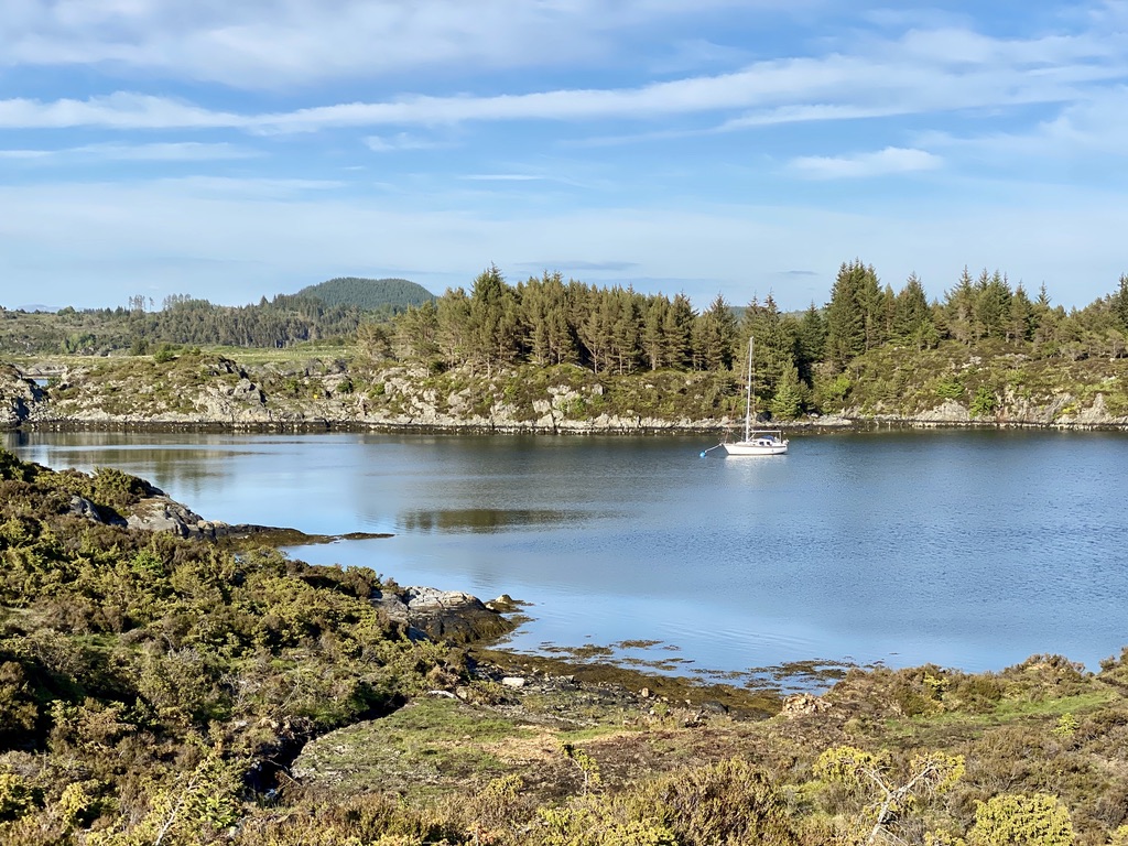
It turned out to be the right decision and after turning around the northern side of Nordøyy and under the constant beeping of the depth sounder warning me of water shallower that 3,5m we made our way to our spot for the coming night.
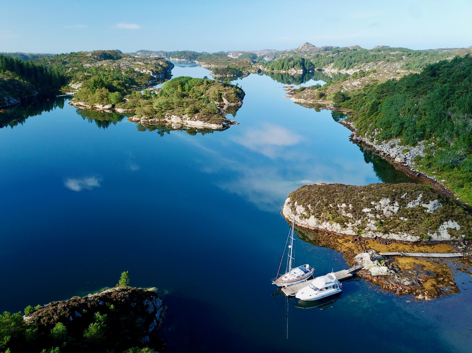
Safely moored between the islands Sulo and Nordøy
The rest of the day we spend exploring the island and I caught two pollocks on the northern tip of Sulo which Laila ate. We also collected some Polysiphonia lanosa along the shores to dry in the cockpit and is supposed to smell and taste like truffle.
View from the old school building
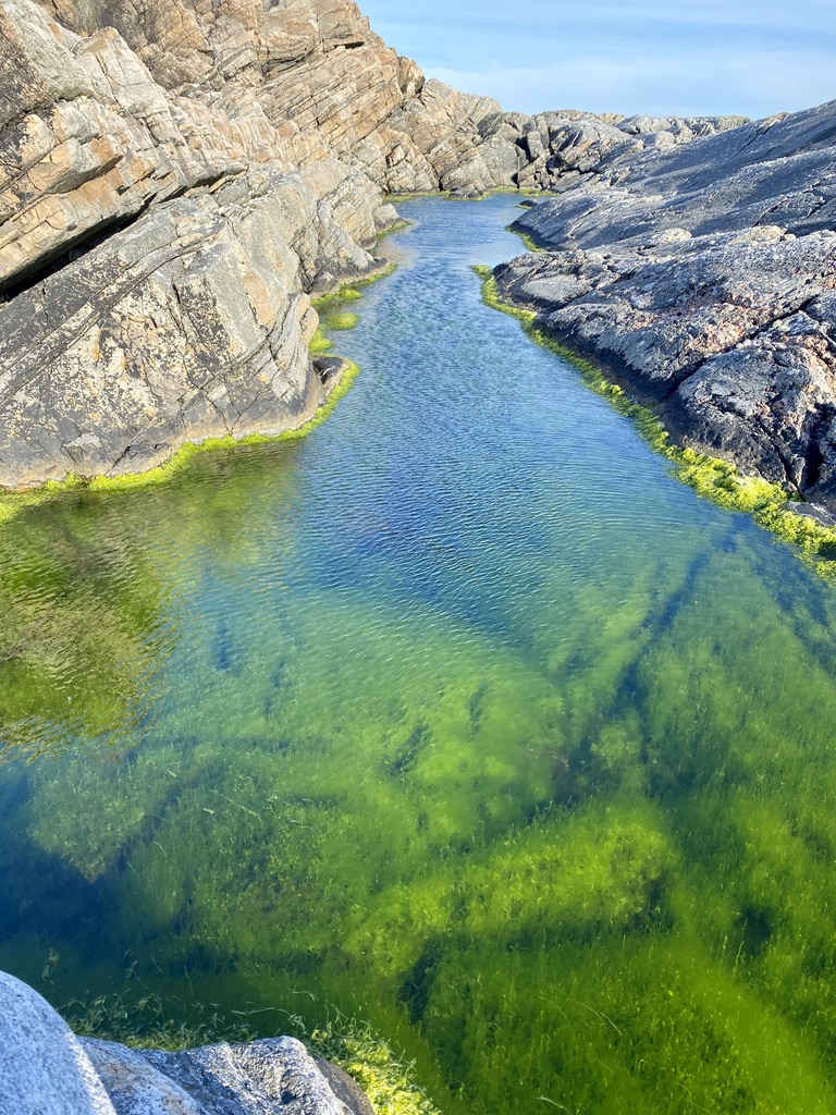
Brackwater pool
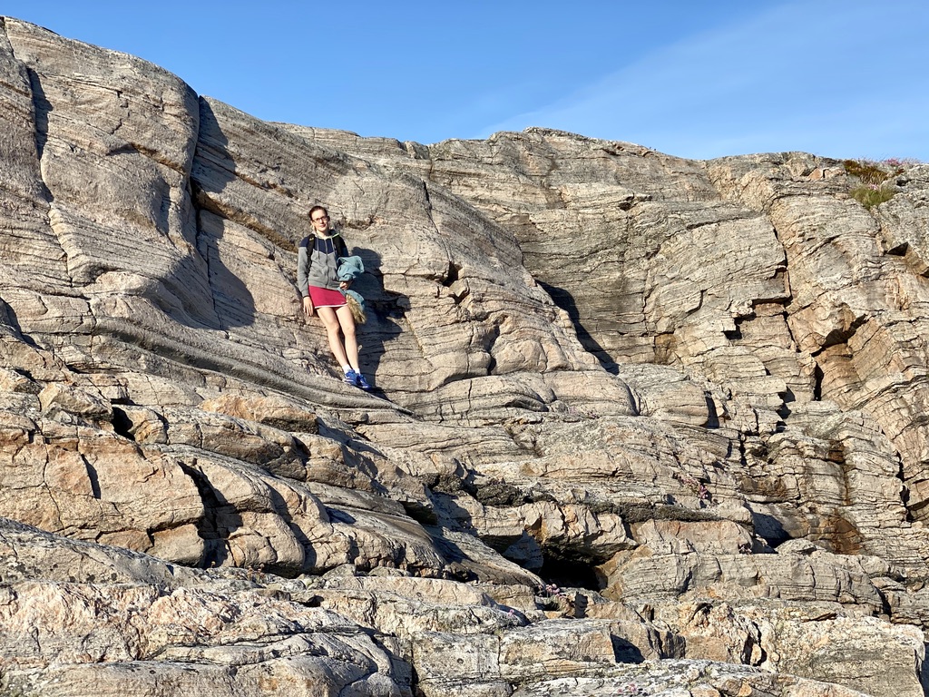
Climbing cliffs
View from the boat southeast at 22:30
Day 3 – Fedje
Since the weather was supposed to stay fine the coming days and we did not have any other pressing obligations waiting for us back home we decided to extend the trip by one more day and check out Fedje. We could see Fedje already heading to towards Nordøy/Sulo the day before and it is again only a short hop, maybe an hour and a half, further north.
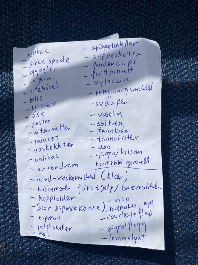
During the last days we started to assemble a list of things we were missing on the boat, and Fedje being one of the more populated islands around had a supermarked where we intended to do some shopping.
After waking up we left the sound the same way as we came, passing the breakwater to the northwest and after leaving the sound heading straight north towards Fedje.
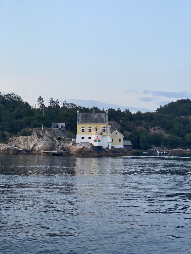
With the harbour guide we found the public floating bridge adjacent to the old sardine factory Fab. Nr 8/Bjellands Café easily and got immediately greeted by the owner. He told us where to fasten and pay the harbour fee of 250NOK which includes water, electricity and a shower. He told us to fasten as far to the tip of the float as possible, expecting several other boats, it being Friday and a sunny one on top of that.
Fedje harbour with Syvsover in the background
First order of the day was to visit the local supermarked. It was a stone throw away from the mooring spot and you can either walk there 20 minutes or take a little yellow cable ferry for 25NOK/tour which you operate yourself. We decided to walk and take the cable ferry with whatever we buy in the store on our way back.
Midday was really hot and the sun was burning, so we took a break after grocery shopping and lunch; Laila dealing just fine with the heat but me on the verge of a sunstroke.
Late afternoon we took a “short” hike, which turned out longer than anticipated. We followed the Nordsjøløypa down south the island with the light house on the islands most southern point as the turning point back to where we started. Somehow I underestimated how long that trail/the island is, but I should have known better. We ended up with walking 3-4 hours through the sun until we arrived back at the boat.
Nordsjøløypa
In the end we were just exhausted and hungry and decided to try out the restaurant, Bjellands Café, and I was looking forward to a cold beer and a burger. It turns it just reopened that day and still had some service issues to work out. The food was good but it was a bit confusing since we didn’t know the menu (we didn’t see any and found it online) or where to order and felt a bit ignored by the staff. At last Laila went inside and found out that you apparently have to order there.
Food and drinks then arrived promptly and we ended the evening with getting acquainted with three sisters from Bergen who were on the island for some celebration. One of them had a tiny little too much to drink and had to excuse herself to her room soon after. Later a guy from, of all places, Askøy joined the table and we had another beer. Exhausted from our hike we then excused us too and hit the hay.
Day 4 – Back Home
After getting up we headed straight back south after leaving the harbour. Except for one incident of a planing boat passing us way too close way too fast, resulting in Syvsover to heel at least 15° back and forth, we just motored along and enjoyed the otherwise calmness of the day.
We entered our marine in one piece, so I’d call the trip a success. Nothing major broke and we now know what we ended up with a shopping list of things we need on the boat for the next trip.
Recently we had some friends visiting from Oslo, the weather was finally getting nice (about time at the end of May). We decided to make a day-trip, heading to the northern parts of Askøy where there are several nice mooring options, especially one of them, which Laila and I investigated on an earlier trip.
We got a fair “warning” from Lailas parents, that whitsunday (in fair weather) is by far the busiest boating day in Norway and that turned out to be more than true. Already at the marina we had trouble finding a parking spot for the car. Something that has never been an issue before.
Once out on the fjord there were boats, in all sizes and at all speeds, everywhere. Luckily there is enough water for everyone, but it dawned on us, that finding an acceptable anchoring spot to have lunsj and taking a walk might become a challenge.
Motoring north
For the way north we decided to keep east of Askøy, going up Byfjorden and then continuing north-west to the tip of the island. Temperatures were fine but no wind to sail. Continuing on there were fewer and fewer boats around us.
The way north on this side is a bit monotonous so we decided, again by recommendation of Lailas parents, to have an interlude by going through Berlandsundet, a narrow passage east of Askøy.
Berlandsundet
Closing in on our planned destination I kept an eye on several pre-selected alternative anchoring spots, but everything seemed to be occupied and I wasn’t too keen on lying hull to hull in some tight spot. In the worst case we decided, that arriving on the northern tip of Askøy we continued on back south again on the western side and we would have had a nice trip, with lunsj underway.
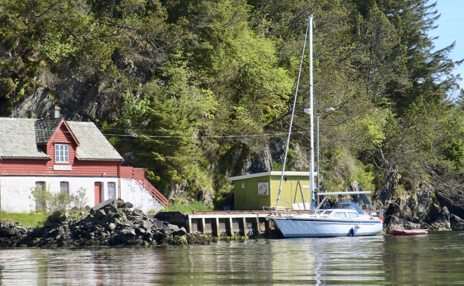
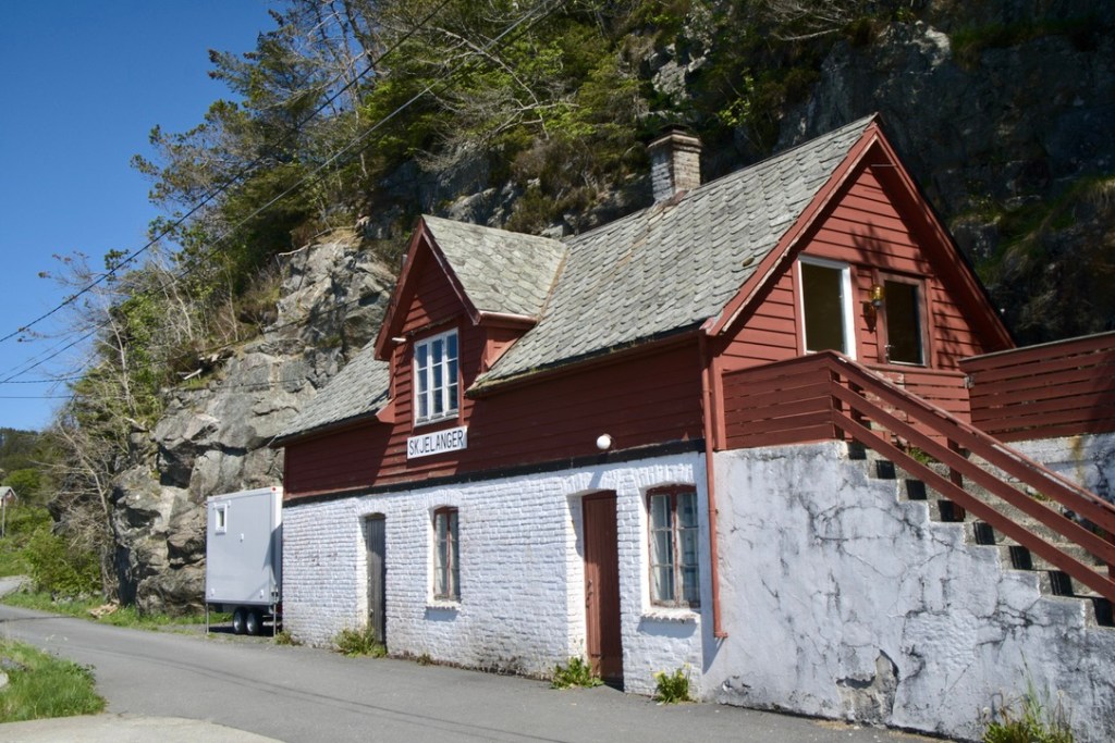
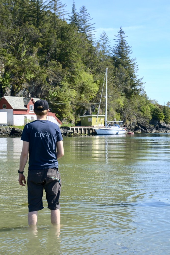
The spot Laila and me were keen on visiting, Skarvøy, was occupied of course. We could see people on the island from quite far away and every mooring spot had at least one boat on it. The last option was to check an old public pier a bit further north, Skjelanger, and just as we were about to turn around the corner we could see another sailboat leaving that place.
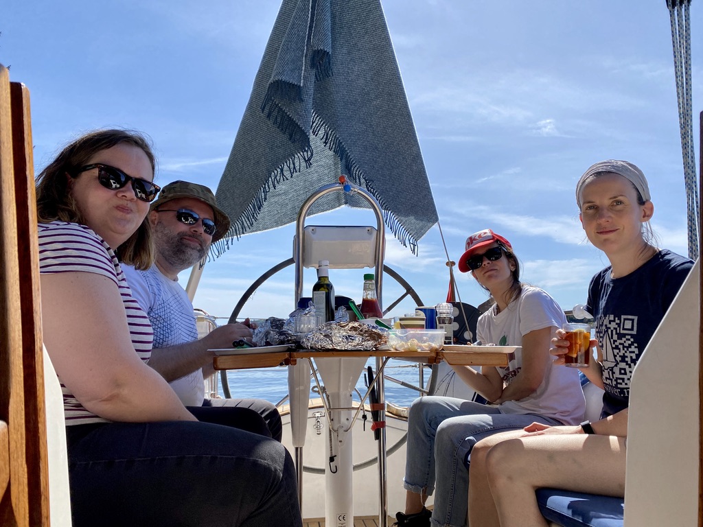
Here we finally could go on land, have a nice lunsj and explore the surroundings. A rather unfamiliar problem for Norway occurred to us, i.e., the sun was so intense, that we had to put up a blanket in the backstay to give us some shadow. I definitely have to think about an awning of some kind for the cockpit.
Skjelanger
Lunsj consisted of plenty of food we grilled the evening before. We took a short walk in the surroundings, took in the landscape and just relaxed. The water was to cold for bathing, around 13°C, but it was a nice refreshment to just wade around in it.
The way back then was uneventful and we motored south on Askøy’s western coast.
Motoring south
Askøy is long, so the trip took the better part of the day. And after that much sun everybody was tired enough when we finally arrived back home.